Professional Drone Services

Discover the full range of drone services offered by our network of certified pilots

Drone Services

Our Services

Real Estate Photography

Real Estate Photography

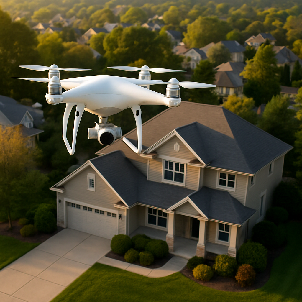
Professional aerial photography and videography for real estate listings, including interior and exterior shots. Showcase properties from unique perspectives with stunning aerial views that highlight landscape features, property boundaries, and neighborhood amenities.

Pricing

From $150/hour with a 2-hour minimum booking

Basic Package - $299 Up to 10 aerial photos, 1 minute highlight video
Premium Package - $599 20 aerial photos, 3 minute cinematic video, 3D mapping
Find a Real Estate Drone Pilot
Event Coverage

Event Coverage

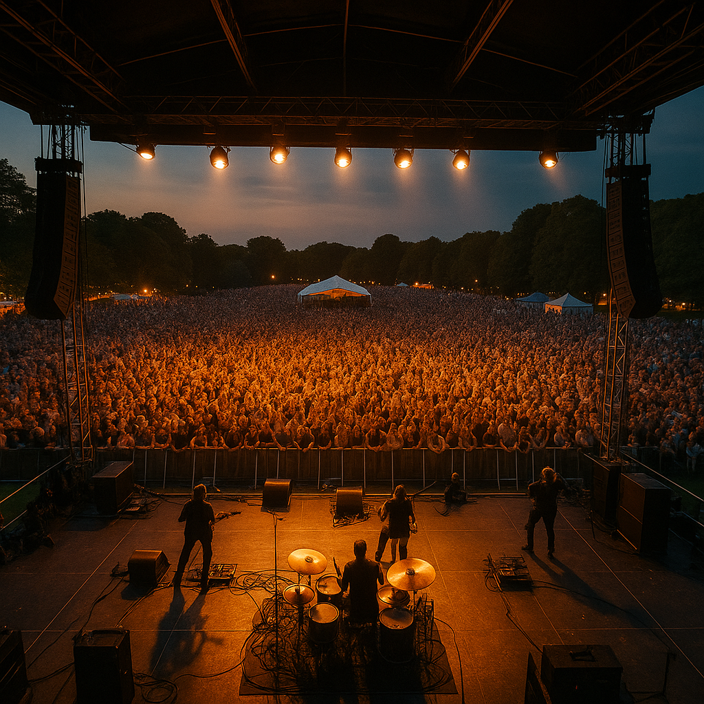
Aerial coverage for weddings, corporate events, and sports competitions. Capture memorable moments from unique perspectives that traditional photography can't achieve. Perfect for outdoor weddings, festivals, sporting events, and large gatherings.

Pricing

From $200/hour with a 3-hour minimum booking

Event Coverage Basic - $699 3 hours of aerial coverage, edited highlight video
Find an Event Drone Pilot
Inspection Services

Inspection Services

Comprehensive drone inspection services for roofs, buildings, infrastructure, and other hard-to-reach areas. Save time and improve safety by using drones for inspections instead of traditional methods requiring scaffolding or lifts.

Pricing

From $175/hour with a 2-hour minimum booking

Basic Inspection - $350 Complete aerial inspection with detailed report and images
Thermal Inspection - $550 Thermal imaging inspection with comprehensive analysis report
Find an Inspection Drone Pilot
Mapping & Surveying

Mapping & Surveying

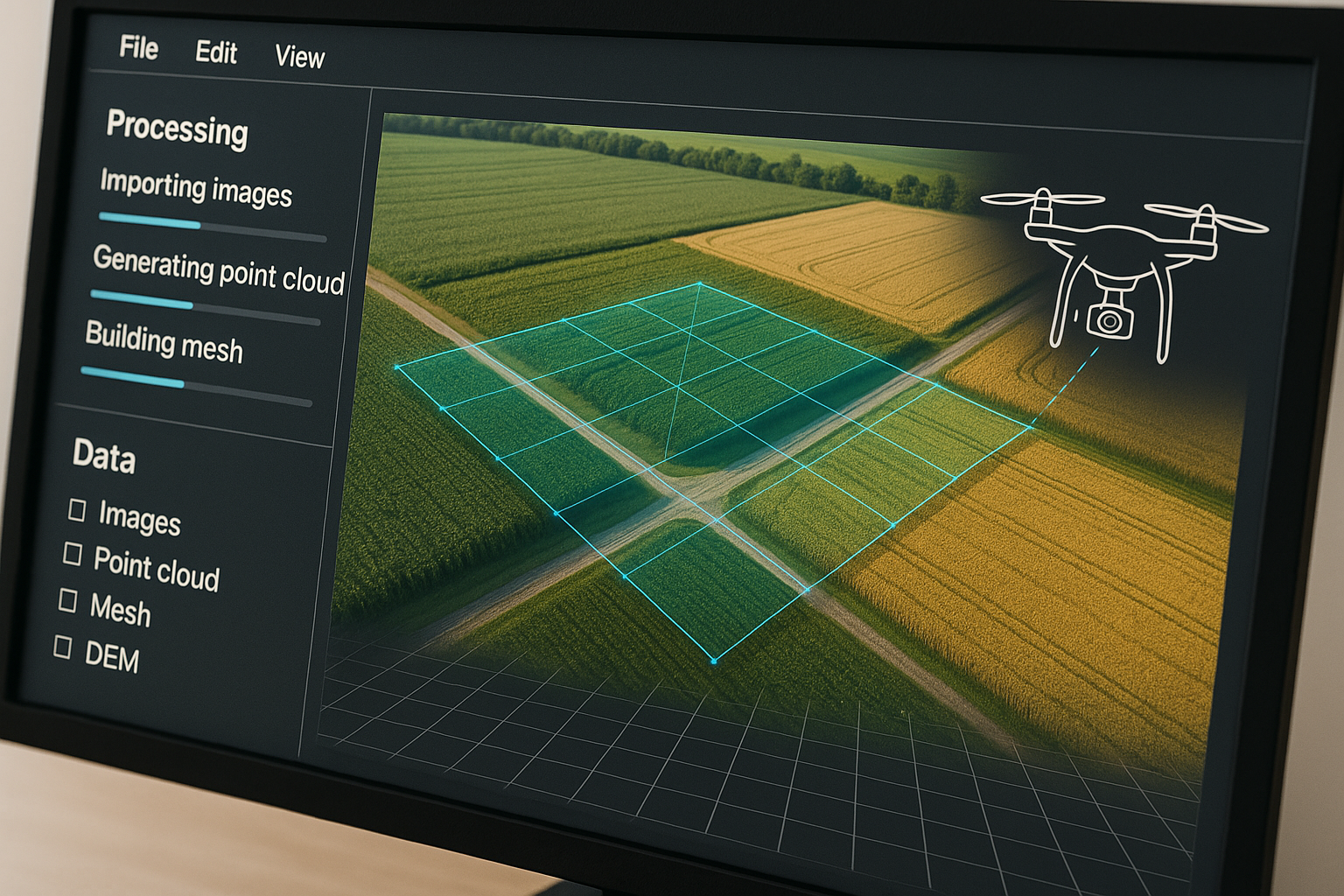
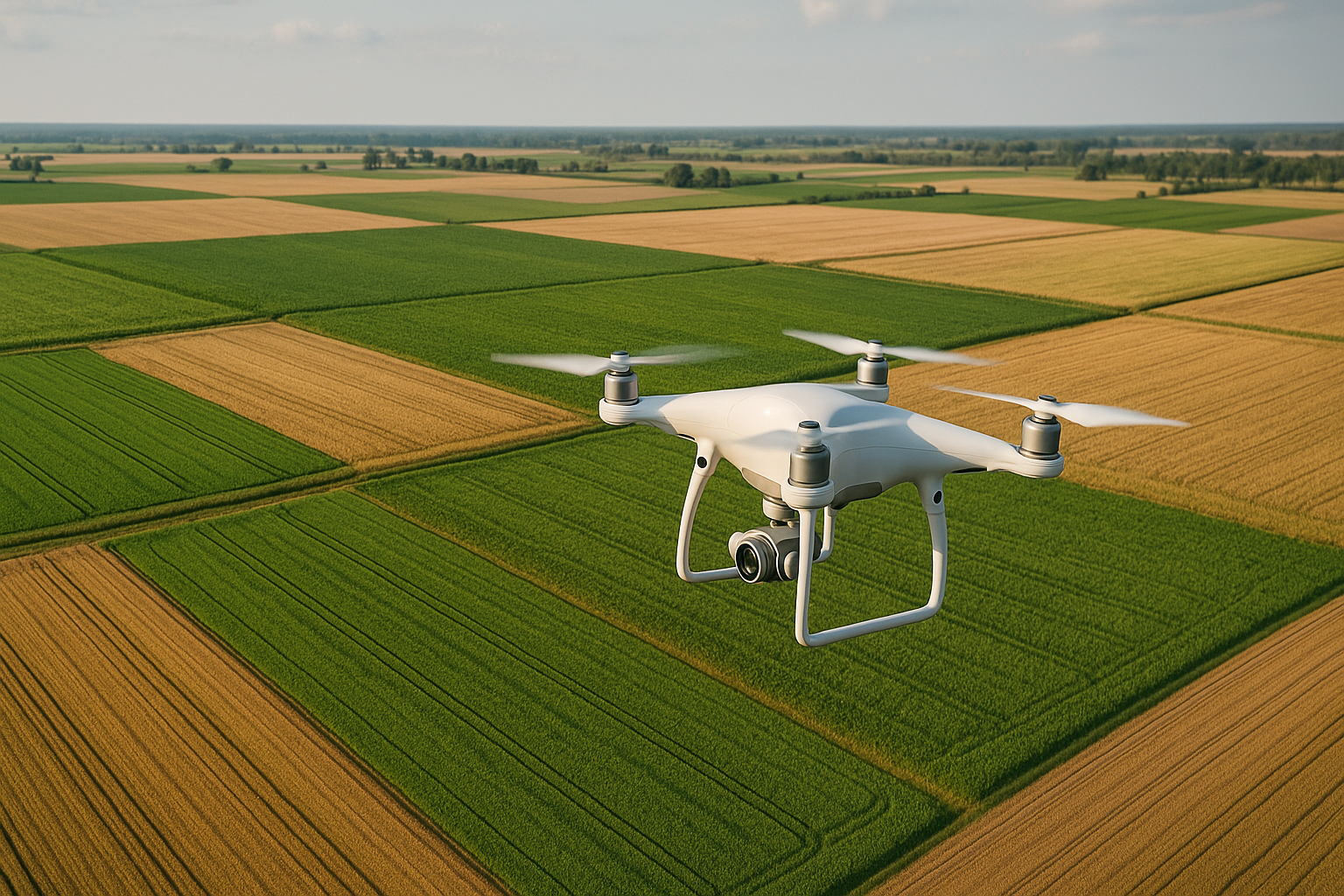
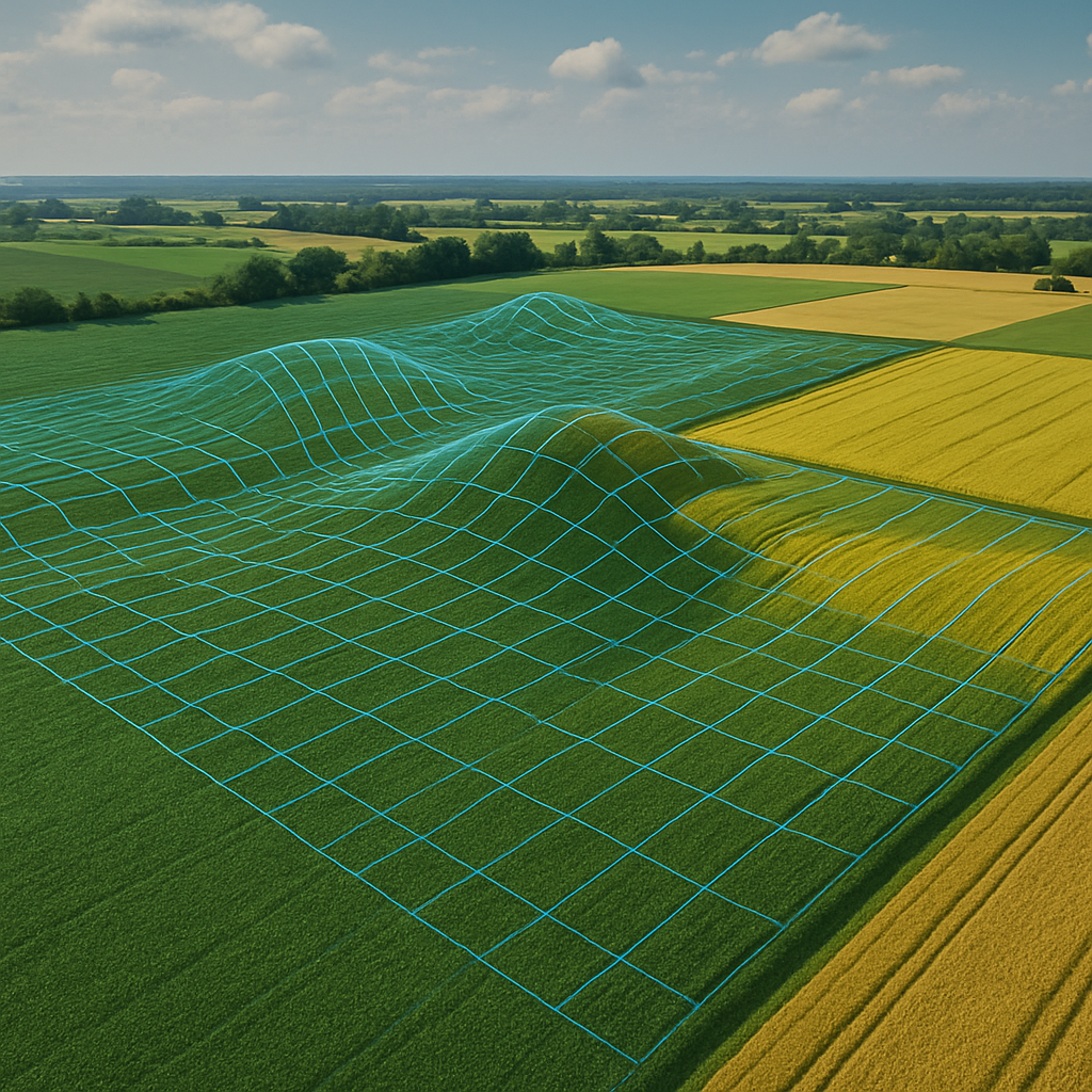
Aerial mapping and surveying services for construction sites, land development, and agriculture. Create detailed orthomosaic maps, 3D models, and topographic surveys with centimeter-level accuracy.

Pricing

From $200/hour or $100/acre for mapping projects

Basic Mapping - $500 Up to 5 acres with orthomosaic map and basic measurements
3D Terrain Modeling - $1200 Detailed 3D terrain model with volumetric calculations
Find a Mapping Drone Pilot
Cinematography

Cinematography

Professional drone cinematography for films, commercials, documentaries, and promotional videos. Our expert pilots can execute complex flight patterns and camera movements to capture cinematic aerial footage.

Pricing

From $250/hour with a 4-hour minimum booking

Half-Day Shoot - $1000 4 hours of drone cinematography with professional operator
Full-Day Production - $1800 8 hours with multiple drones and camera options
Find a Cinematography Drone Pilot
Agricultural Services

Agricultural Services

Advanced drone technology for precision agriculture, including crop health monitoring, irrigation assessment, and yield estimation. Our specialized agricultural drones use multispectral imaging to detect plant stress, pest infestations, and nutrient deficiencies before they become visible to the naked eye.

Pricing

From $150/acre with volume discounts available

Crop Health Assessment - $750 Up to 10 acres, NDVI mapping, detailed analysis report
Seasonal Monitoring - $2500 Monthly surveys for up to 50 acres, trend analysis, consultation
Find an Agricultural Drone Pilot
Construction Monitoring

Construction Monitoring

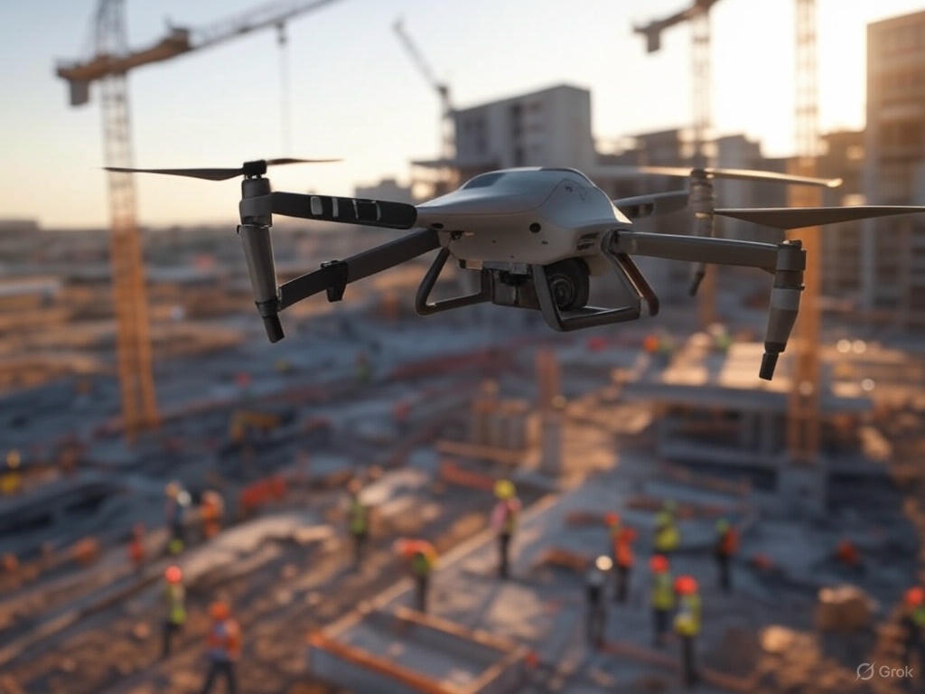
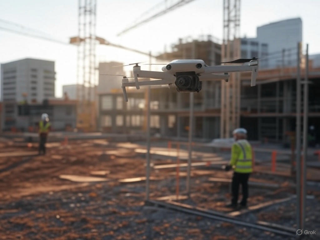
Comprehensive construction site monitoring and documentation services. Track progress, ensure safety compliance, and document milestone achievements with high-resolution aerial imagery and 3D modeling. Perfect for project managers, developers, and contractors.

Pricing

From $300/visit with weekly/monthly packages available

Single Site Survey - $500 Complete site documentation, progress report, and aerial imagery
Monthly Monitoring - $1500 Weekly visits, progress tracking, 3D modeling, timeline comparison
Find a Construction Drone Pilot
Emergency Services

Emergency & Disaster Response

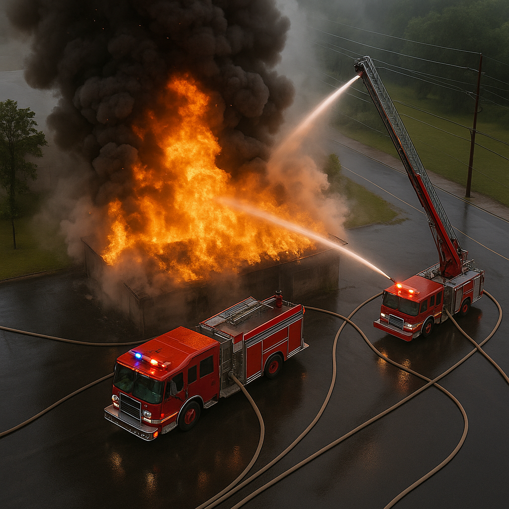
Rapid deployment drone services for emergency situations, natural disasters, and search & rescue operations. Our network includes pilots specially trained in emergency response, equipped with thermal cameras and specialized equipment for critical missions.

Pricing

Emergency response rates starting at $350/hour

Emergency Response - $750 2-hour rapid deployment, thermal imaging, live video feed
Disaster Assessment - $1500 Full-day coverage, damage assessment, mapping services
Find an Emergency Response Drone Pilot
Wildlife Monitoring

Wildlife & Environmental Monitoring

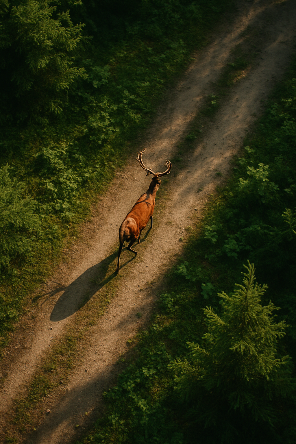
Specialized drone services for wildlife research, conservation efforts, and environmental monitoring. Using advanced thermal and zoom cameras, our pilots can safely track wildlife, assess habitats, and monitor environmental changes without disturbing natural behaviors.

Pricing

From $200/hour with project-based pricing available

Habitat Survey - $600 3-hour survey, species counting, habitat mapping
Research Package - $2000 Weekly monitoring, data collection, analysis reports
Find a Wildlife Monitoring Drone Pilot
Utility Inspection

Utility & Infrastructure Inspection

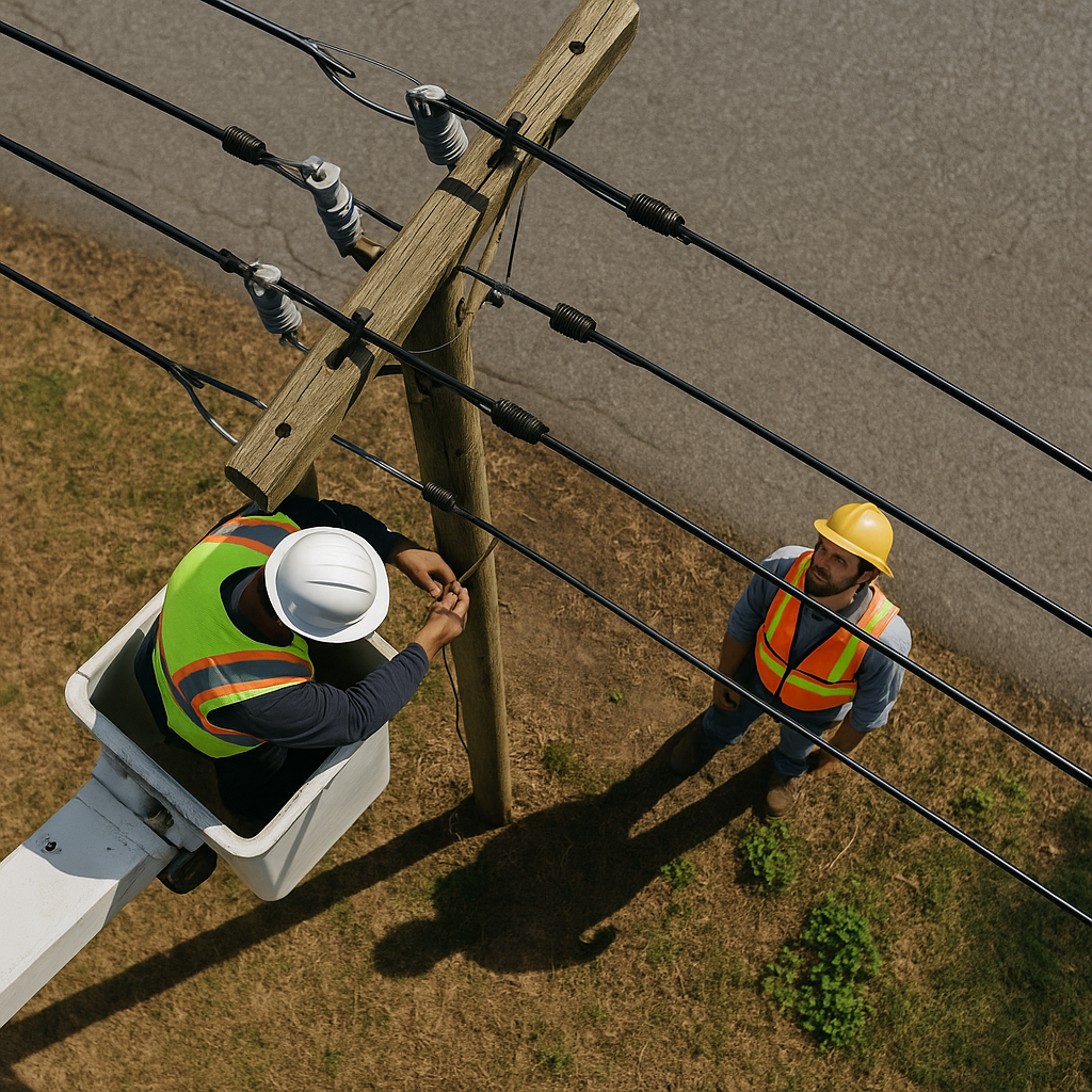
Specialized inspection services for power lines, solar panels, wind turbines, and telecommunications infrastructure. Our pilots use high-resolution and thermal imaging to detect faults, assess damage, and monitor maintenance needs safely and efficiently.

Pricing

From $250/hour or per-mile rates for linear infrastructure

Solar Farm Inspection - $800 Complete thermal scan, defect detection, maintenance report
Power Line Inspection - $400/mile Visual and thermal inspection, vegetation management assessment
Find a Utility Inspection Drone Pilot
Cell Tower Inspection

Cell Tower Inspection

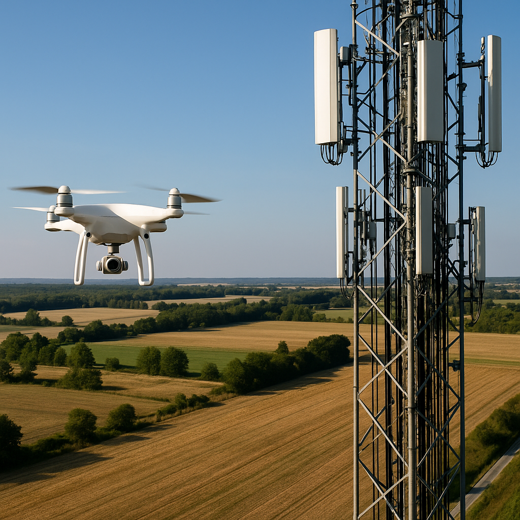
Specialized drone inspection services for telecommunications infrastructure and cell towers. Our expert pilots provide detailed visual assessments of tower components, antenna alignments, and structural integrity without requiring climbers to ascend the tower. This safer, more efficient approach delivers high-resolution imagery and detailed reports at a fraction of the time and cost of traditional methods.

Pricing

From $400/tower with volume discounts available

Basic Tower Inspection - $400 Complete visual inspection, high-res photos, basic report
Comprehensive Package - $750 Visual inspection, thermal imaging, detailed analysis report, 3D modeling
Find a Cell Tower Inspection Pilot
Thermal Imaging Services

Thermal Imaging Services

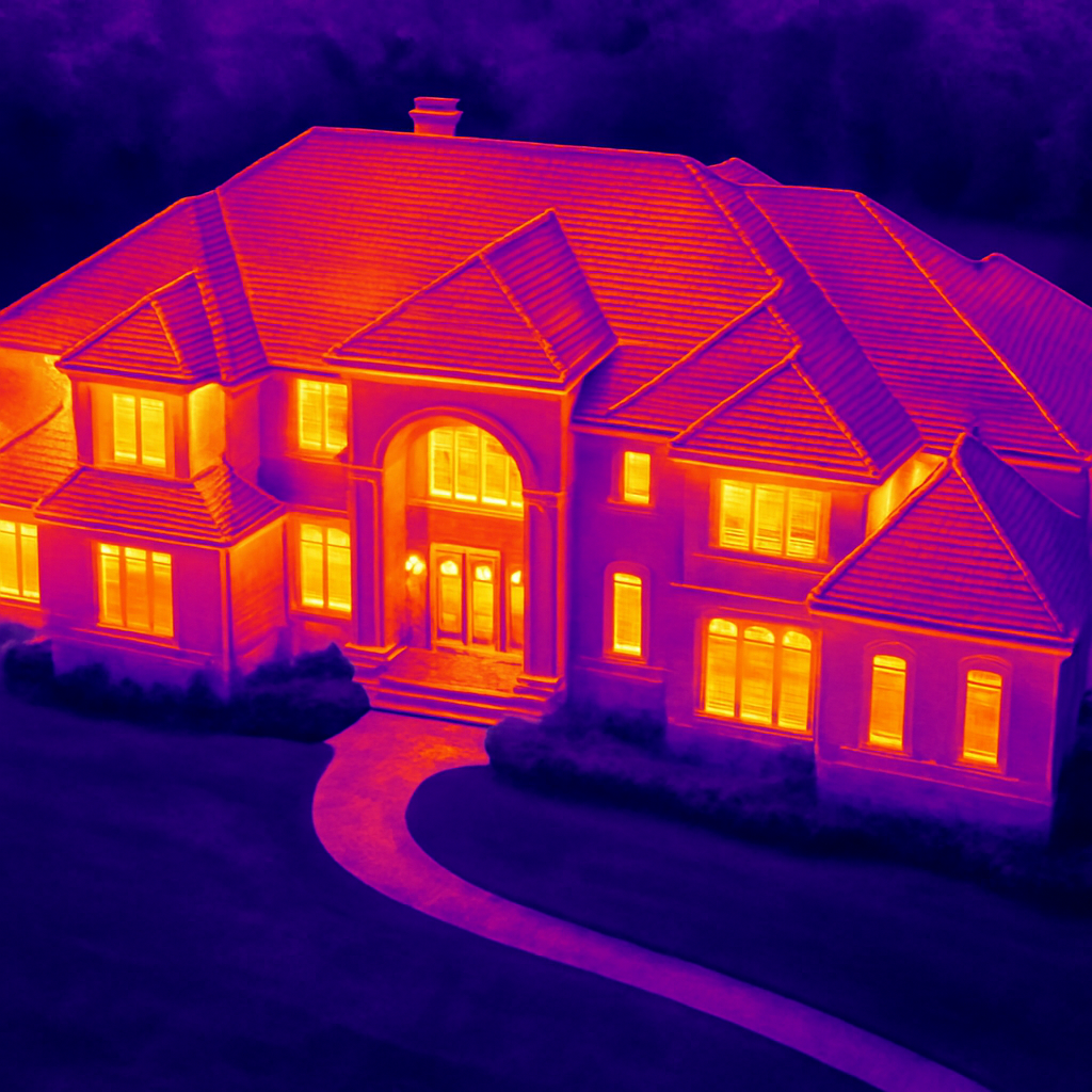
Advanced thermal imaging drone services for a wide range of applications including building inspections, solar panel efficiency analysis, and industrial equipment monitoring. Our thermal imaging drones can detect heat signatures that reveal potential issues such as energy loss, electrical problems, moisture intrusion, and mechanical wear before they become critical problems.

Pricing

From $300/hour with project-specific pricing available

Basic Thermal Survey - $600 2-hour thermal inspection with basic analysis report
Comprehensive Thermal Analysis - $1200 Full facility inspection, detailed thermal mapping, comprehensive report with recommendations
Find a Thermal Imaging Drone Pilot

Why Choose Our Drone Services?

Certified Pilots

All our pilots are FAA-certified and fully insured, ensuring professional and compliant operations.

Advanced Equipment

Access to the latest drone technology and specialized equipment for any project requirements.

Quick Turnaround

Fast delivery of processed data and edited content, with rush services available.

Pricing Information

Important Notes About Our Pricing:

  • ✓ All prices include basic post-processing and delivery
  • ✓ Volume discounts available for regular bookings
  • ✓ Custom packages can be created for specific needs
  • ✓ Rush services available at additional cost
  • ✓ Travel fees may apply outside pilot's service area

Ready to Book a Drone Service?

Find certified drone pilots in your area today