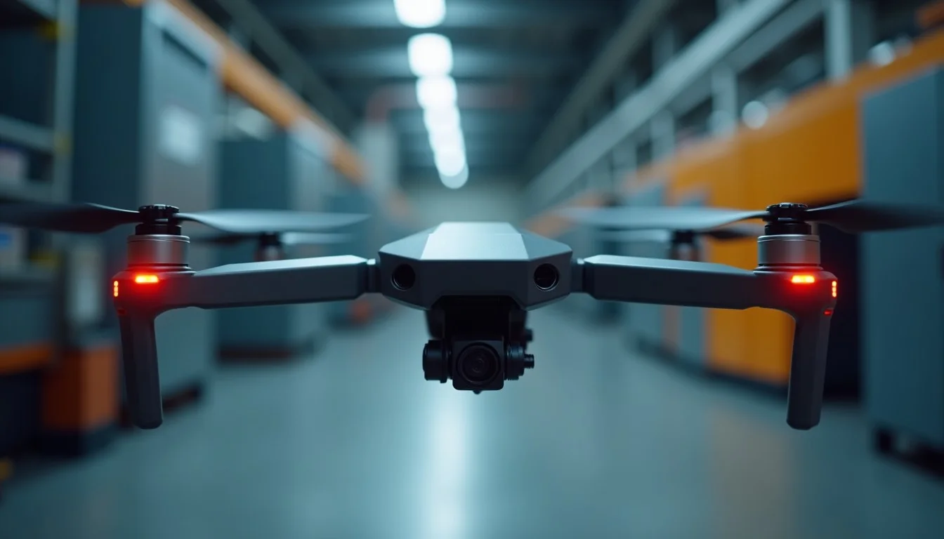
In mid-July 2026, the Montgomery County Police Department in Maryland announced a major revamp and expansion of its Drone as First Responder (DFR) program. Dubbed an evolution to “DFR 2.0” in local reporting, the upgrades center on a transition to dock-based Skydio drone systems, deployment of 12 new lighter and faster American-made drones, dual-drone capability at each of six locations, and a significant increase in geographic coverage — from roughly 30 square miles to approximately 85 square miles. Program officials attributed part of the expanded reach to recent FAA adjustments that permit a greater operational radius from fixed launch points.
The changes matter because they demonstrate, with concrete numbers and operational details, how drone technology is moving from supplemental tool to core public safety infrastructure in agencies grappling with staffing challenges and the need for faster, safer incident response.
How the Expanded Program Operates
The core mission remains unchanged: provide immediate aerial support to 911 or police-generated calls for service. Drones are prepositioned in automated docks on buildings within designated operational areas. Upon a qualifying call, a remote pilot launches the aircraft from the dock, flies it to the scene (typically arriving well ahead of ground units), streams real-time video and imagery back to the Joint Public Safety Operations Center and responding officers, and loiters as needed until the situation stabilizes. The drone then returns autonomously to the dock for charging and data upload.
Key technical specifications for the Skydio platforms in use include flight times up to 40 minutes, altitudes up to 400 feet above ground level, and speeds up to 45 mph. The new fleet adds thermal imaging cameras and spotlights optimized for nighttime missions. Importantly, the program maintains strict guardrails: drones are used only for response to active calls, not for general patrol, proactive surveillance, or routine monitoring. There is no facial recognition capability, no audio recording via microphone on the aircraft, and privacy protections including controlled access to stored video and public transparency resources such as flight maps and released footage.
Local coverage expanded to six sites — Downtown Silver Spring, White Oak (new), Gaithersburg, Germantown (new), Wheaton, and Bethesda — with dual-dock setups at each allowing two drones to be ready simultaneously. This enables handling multiple calls in the same geographic sector or providing redundant coverage. Operational hours have also broadened. Remote piloting occurs from the centralized operations center rather than requiring personnel at every rooftop launch site.
Program data shared in connection with the expansion and prior evaluations indicate strong operational impact: drones have arrived on scene before ground officers in approximately 75% of responses, and in 15–20% of cases the aerial intelligence has been sufficient for remote resolution, freeing officers for other priorities. These figures come from internal tracking and academic partnership review with the University of South Carolina.
Technology and Operational Shifts
The move to dock-based systems represents a meaningful change in how these programs are staffed and sustained. Previous iterations relied more heavily on contractors or on-site personnel for physical launch/landing oversight, battery management, and manual video uploads. The automated docks handle charging, mission readiness status, landing, and data offload with minimal human intervention at the edge. This reduces certain labor requirements while increasing the importance of skilled remote pilots who can manage mission planning, real-time decision-making, thermal interpretation, and coordination with dispatch.
The choice of American-made Skydio platforms aligns with NDAA compliance preferences common in government procurement and brings advantages in software integration, autonomy features for the dock ecosystem, and domestic support. The lighter, quieter airframes also address community concerns around noise in residential and mixed-use areas.
FAA Rules, Recent Adjustments, and Compliance Context
All operations remain anchored in Part 107 requirements: remote pilots must hold a current FAA Remote Pilot Certificate, aircraft are registered, Remote ID is broadcast, and flights stay within the standard altitude and operational limits unless additional authorizations are in place. The program’s ability to cover a much larger area from fixed dock locations reflects what officials described as recent FAA adjustments expanding the effective radius from launch points (cited as moving from approximately 1.1 nautical miles to at least 2 nautical miles in practical terms for their setup).
For Part 107 pilots, this highlights several practical considerations:
- Staying current on how the FAA interprets and applies rules for fixed-site public safety operations, including any public safety-specific waivers or authorizations.
- Understanding the interplay between VLOS requirements, visual observers where used, and the capabilities of modern detect-and-avoid or autonomy features (many dock systems still require an active remote pilot in command).
- Night operations with anti-collision lighting and spotlights, which many Part 107 pilots already train for but which become central in 24/7-ready DFR models.
- Airspace coordination, especially in the complex Class B/C/D/G mix around the Washington, D.C. metro area.
Enforcement risk remains real for any program that deviates from approved parameters or fails to maintain proper documentation and pilot qualifications. The Montgomery County program’s emphasis on transparency, policy documentation, and data access controls serves as a model for minimizing that risk while maximizing public benefit.
Opportunities for FAA-Certified Pilots and Drone Contractors
The expansion carries mixed but generally positive signals for the professional drone community. On one hand, greater automation and in-house staffing (the county added three full-time civilian drone pilots) can reduce demand for certain low-skill contractor roles such as constant rooftop presence. On the other hand, it increases demand for higher-skill professionals who can operate, maintain, and optimize complex dock-integrated systems; interpret thermal and multispectral data in high-stakes environments; manage evidence workflows; and integrate drone operations seamlessly with existing 911 and records systems.
Nationally, many agencies — especially smaller and mid-sized ones — continue to rely on contracted services or public-private partnerships rather than building full in-house teams. Contractors who can deliver “DFR-as-a-Service” packages, including hardware, docks, software integration, training, and ongoing support, are well positioned. Specialized niches include:
- Thermal and night operations training tailored to public safety tempo and decision-making.
- Dock system installation, maintenance, and troubleshooting.
- Development or customization of dispatch integration layers.
- Consulting on policy, privacy, and FAA compliance frameworks for new DFR adopters.
- Equipment and payload integration for agencies standardizing on platforms like Skydio.
Pilots considering this vertical should prioritize recurrent training, documented experience with rapid-deployment scenarios, strong communication skills for coordination with sworn personnel, and familiarity with chain-of-custody and public records considerations. The work tends to be more structured and mission-driven than ad-hoc commercial jobs, which appeals to many professionals seeking predictable schedules and clear societal value.
Privacy, Community Trust, and Replicability
A notable strength of the Montgomery County approach is its explicit commitment to operating only on active calls for service, combined with public transparency measures (flight data dashboards, released video playlists, and policy documents). This framework helps address legitimate community concerns about persistent aerial surveillance while still delivering the documented safety and efficiency gains.
Other jurisdictions evaluating similar programs will likely study these details closely. The combination of dock automation (reducing ongoing labor costs), measurable response improvements, and privacy guardrails makes the model more replicable than earlier, more manual DFR implementations. Scaling to disaster response — where the same rapid-launch, real-time-intel capabilities support search and rescue, flood assessment, or infrastructure damage evaluation — follows naturally from the emergency-response foundation.
Looking Ahead
Montgomery County’s July 2026 upgrades are not an isolated event. DFR programs have been proliferating across the United States, with agencies reporting similar patterns of faster information to first responders and improved resource allocation. The technology layer — automated docks, more capable and compliant airframes, better integration software — is maturing rapidly. FAA policy continues to evolve in parallel, sometimes enabling and sometimes constraining operational scale.
For FAA-certified drone pilots and the contractors who support them, the takeaway is clear: public safety drone work is moving from niche experiment to established professional discipline. Those who invest in the specific competencies this environment demands — technical proficiency with modern platforms and docks, operational discipline under strict policy constraints, and the ability to deliver actionable intelligence under time pressure — will find meaningful, growing opportunities. The Montgomery County example provides both a benchmark for what scaled operations look like and a practical roadmap of the skills and business models that will be required to support them elsewhere.
Sources: Primary information drawn from Montgomery County Police Department program documentation, July 2026 local news reporting in Bethesda Magazine and MyMC Media, and official announcements. All operational claims and metrics are attributed to the agency or its cited evaluations.